Gran Sasso Itineraries
From Prato Selva to Nerito
| Cartografia | |||||||||||||||||||||||
|
|||||||||||||||||||||||
|
Inserisci l'indirizzo di partenza e clicca sul pulsante Cerca
|
|||||||||||||||||||||||
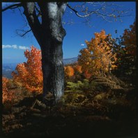
The excursion comprises a part of the Sentiero Italia and starts from the tourist area of Prato Selva (1380 mt), in the village of Fano Adriano. The itinerary, which gives the hiker a great panoramic view of the Laga Mountains and the Vomano valley, follows the valley of the Rocchetta torrent going downhill. This area is covered by an extensive beech grove which comprises rare species of trees such as the White beech, the Yew and the Holly.
The path snakes along half the mountain side, crosses a few pits and the Rocchetta torrent, after which it continues on a very easy path to cross Fosso Nerito (833 mt.) made up of small groups of houses distributed around the local parish.


